
- Home
- Getting Started
- Documentation
- Release Notes
- Tour the Interface
- Tour the Layers
- JMARS Video Tutorials
- Lat/Lon Grid Layer
- Map Scalebar
- Nomenclature
- Crater Counting
- 3D
- Shape Layer
- Mosaics
- Map
- Advanced/Custom Maps
- Graphic/Numeric Maps
- Custom Map Sharing
- Stamp
- THEMIS
- MOC
- Viking
- CRISM Stamp Layer
- CTX
- HiRise
- HiRISE Anaglyph
- HiRISE DTM
- HRSC
- OMEGA
- Region of Interest
- TES
- THEMIS Planning
- Investigate Layer
- Landing Site Layer
- Tutorials
- Video Tutorials
- Displaying the Main View in 3D
- Finding THEMIS Observation Opportunities
- Submitting a THEMIS Region of Interest
- Loading a Custom Map
- Viewing TES Data in JMARS
- Using the Shape Layer
- Shape Layer: Intersect, Merge, and Subtract polygons from each other
- Shape Layer: Ellipse Drawing
- Shape Layer: Selecting a non-default column for circle-radius
- Shape Layer: Selecting a non-default column for fill-color
- Shape Layer: Add a Map Sampling Column
- Shape Layer: Adding a new color column based on the values of a radius column
- Shape Layer: Using Expressions
- Using JMARS for MSIP
- Introduction to SHARAD Radargrams
- Creating Numeric Maps
- Proxy/Firewall
- JMARS Shortcut Keys
- JMARS Data Submission
- FAQ
- Open Source
- References
- Social Media
- Podcasts/Demos
- Download JMARS
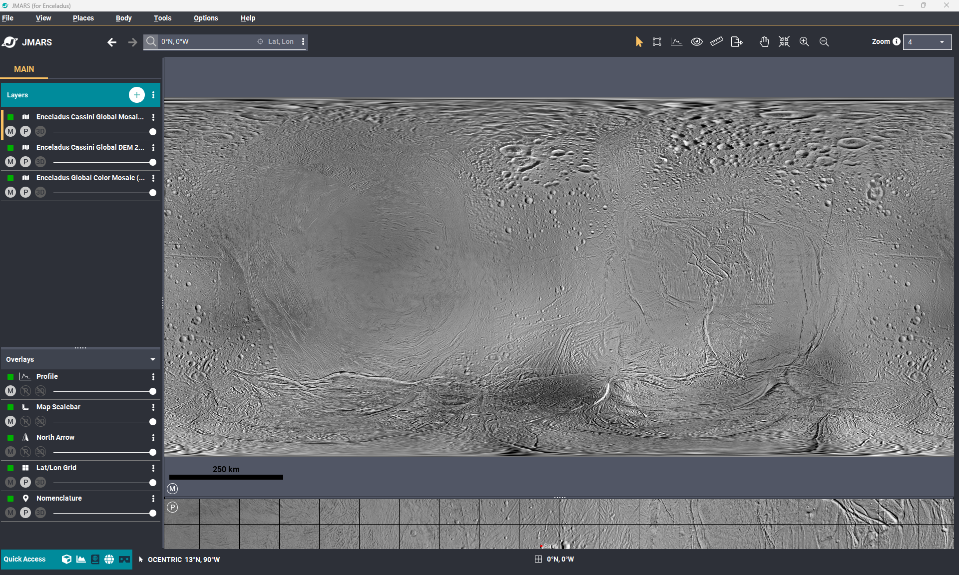
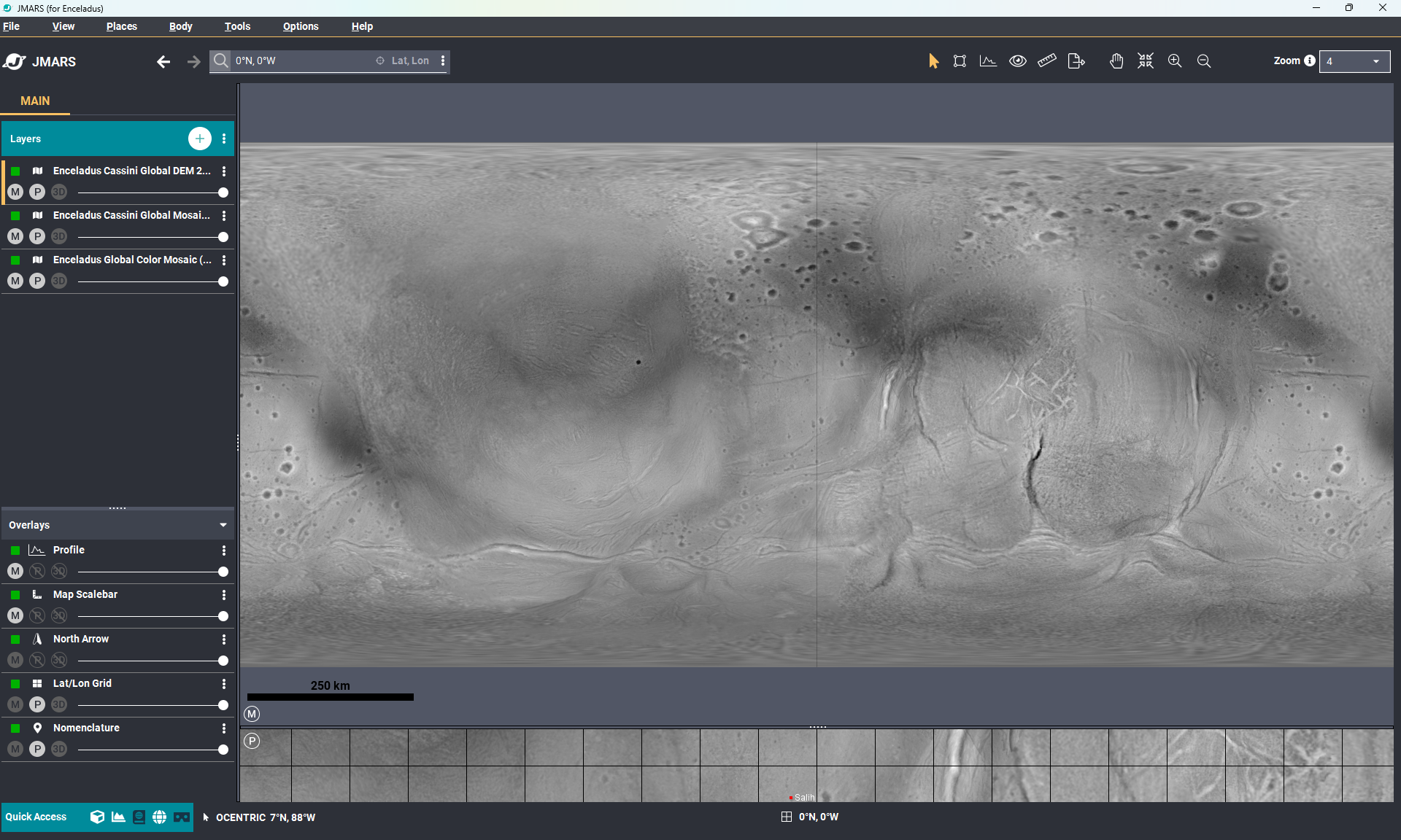
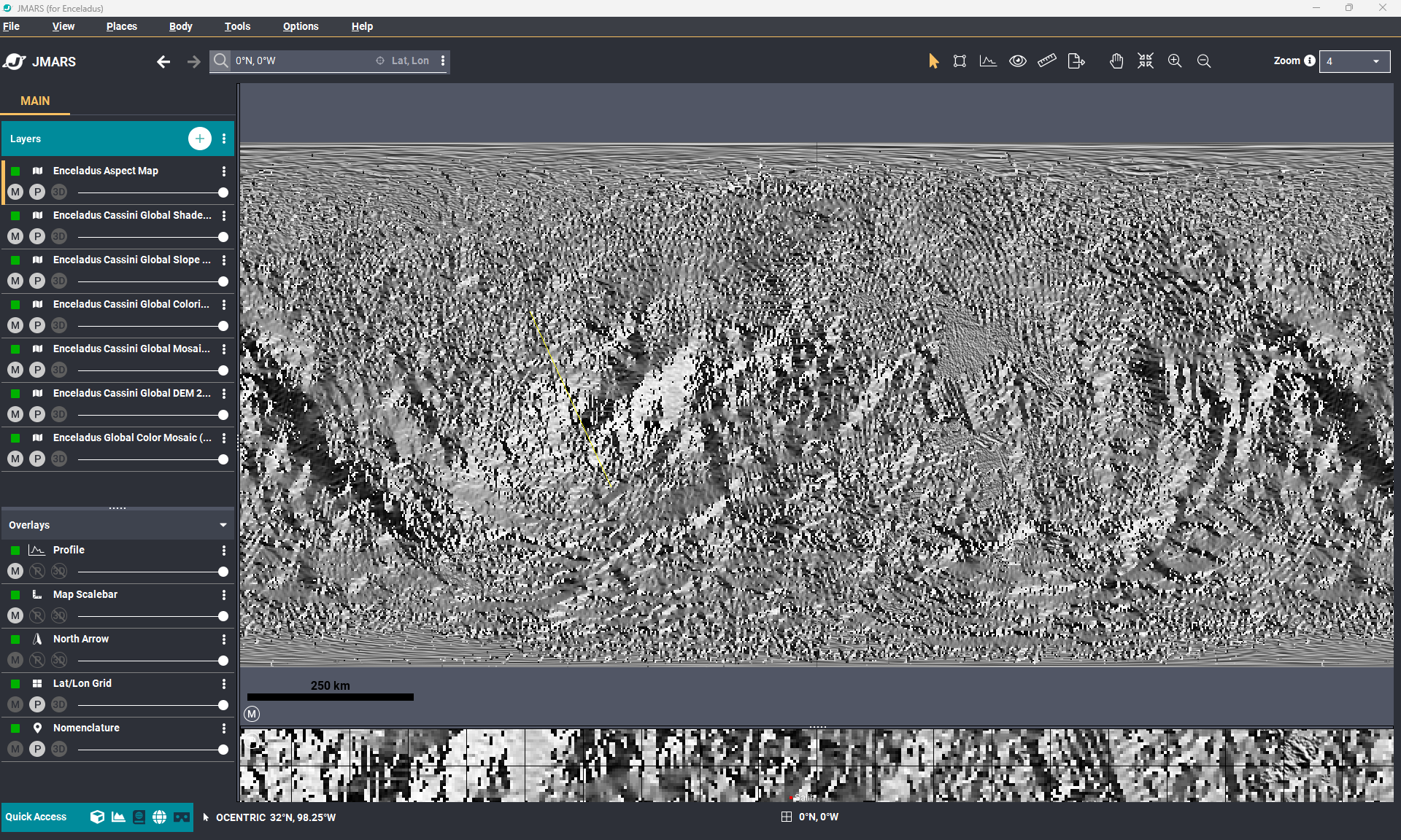
New Enceladus Maps are available in JMARS!
You can now view 100m mosaic, 200m DEM maps and more created using Cassini Data
New Enceladus Maps in JMARS!
Enceladus Cassini Global Mosaic 100m Schenk: This new USGS global rectified base mosaic of Enceladus (Schenk and McKinnon, 2024) is derived from more than 500 Cassini ISS images acquired in the clear filter with resolutions from 250 to <50 meters pixel scale.
Enceladus Cassini Global DEM 200m Schenk: The digital elevation model (DEM) of Enceladus is at 200-meter per pixel and built from Cassini ISS data. This new global topographic map of Enceladus represents USGS's best and most accurate shape model and DEM of the surface of this active icy moon of Saturn (Schenk and McKinnon, 2024). It represents an integration of the most up-to-date and reliable image-based control network global shape solution and nearly 100 individual stereo image digital elevation models (DEMs), with horizontal post spacings (or footprints) of ~400 meters and vertical precisions of roughly 25-100 m depending on location. Contact P Schenk (Lunar and Planetary Institute) for additional information.
Other Enceladus Maps created by JMARS using 200m DEM
- Enceladus Cassini Global Shaded Relief 200m Schenk
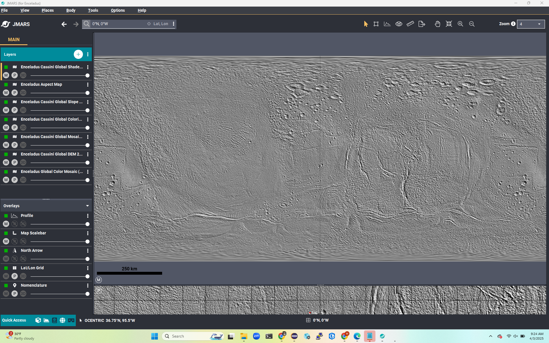
- Enceladus Cassini Global Slope 200m Schenk
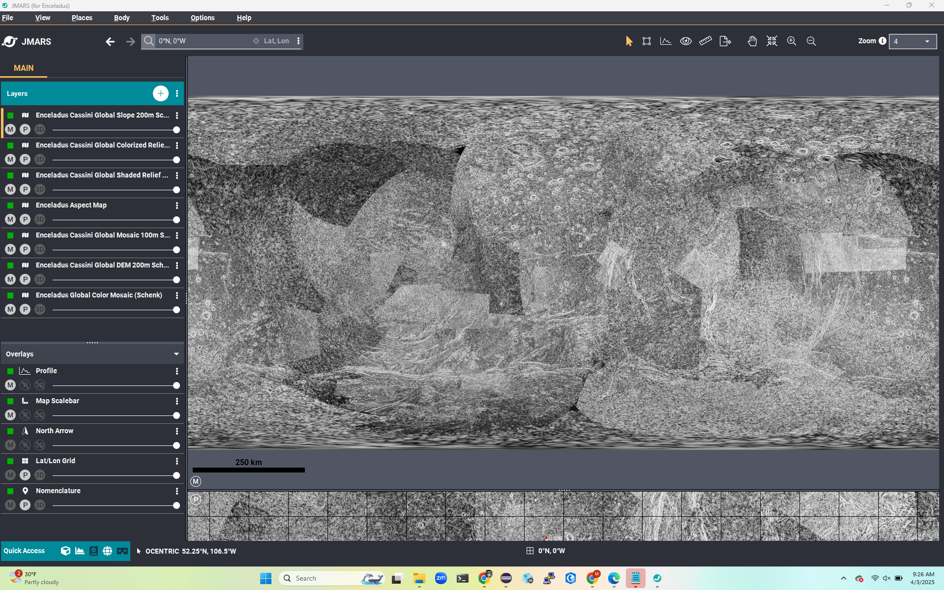
- Enceladus Cassini Global Aspect 200m Schenk
- Enceladus Cassini Global Colorized Relief 200m Schenk

- Enceladus Cassini Global Shaded Relief 200m Schenk
- Enceladus Cassini Global Slope 200m Schenk
- Enceladus Cassini Global Aspect 200m Schenk
- Enceladus Cassini Global Colorized Relief 200m Schenk